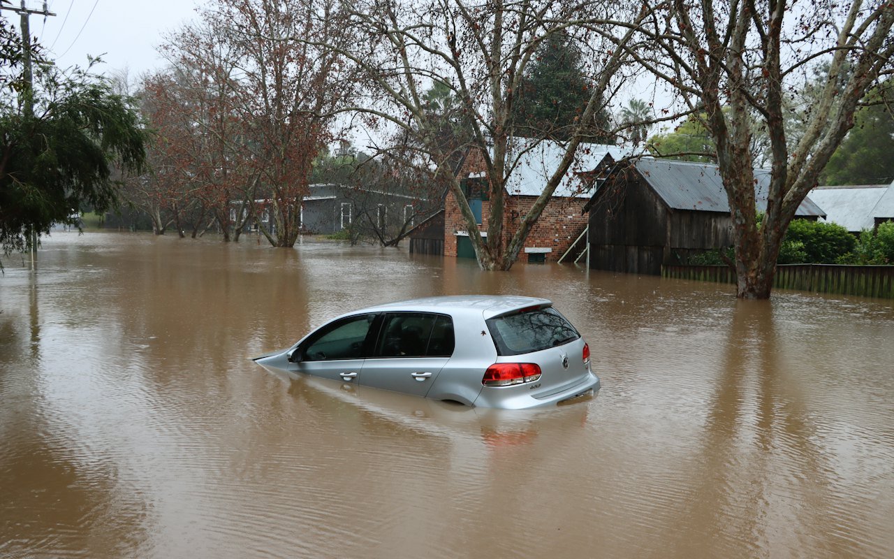

New federal flood maps released this week would place about 4,800 more homes in the county’s high-risk flood zone, meaning many owners with mortgages will be required to buy flood insurance. For some households, the change will arrive as an unwelcome letter from their lender. For others, it may be the first time anyone has told them that the creek behind the house or the low street at the end of the block could put their home at real risk.
The maps reflect heavier rainstorms and new data on river levels. Owners who believe their property has been placed in the wrong zone have 90 days to appeal. County officials are urging residents to check their addresses now rather than waiting for the maps to take effect.
Why the maps are changing
Flood maps show which areas are most likely to flood in a given year. The high-risk zone, sometimes called the 100-year floodplain, covers places with roughly a one percent chance of flooding in any year. Over the life of a typical 30-year mortgage, that adds up to a meaningful risk.


Many of the county’s current maps were drawn decades ago, using rainfall records and river measurements that no longer match what residents see today. Since then, the region has experienced several intense storms that dumped several inches of rain in a matter of hours, overwhelming creeks and storm drains in neighborhoods that had never flooded before.

The updated maps use newer rainfall data, detailed ground elevation surveys and updated measurements of how high the county’s rivers and creeks rise during major storms. Development has also played a role. As fields and wooded areas have been replaced by roads, parking lots and rooftops, more rainwater runs off quickly instead of soaking into the ground.
The water doesn’t read the old maps. We needed new ones.
Janet Moore, county floodplain manager
Who is affected
The roughly 4,800 properties being added to the high-risk zone are spread across the county, though officials said many sit along two rivers and several smaller creeks that feed them. Some neighborhoods are seeing only a handful of homes added. Others, particularly in low-lying areas near older drainage channels, could see entire blocks redrawn.
At the same time, a smaller number of properties are being moved out of the high-risk zone because better elevation data shows they sit higher than previously believed. County staff said they would contact affected owners in both groups by mail over the coming weeks.
What it means for homeowners
For homeowners with a mortgage from a federally backed or regulated lender, being placed in the high-risk zone generally means flood insurance becomes mandatory. Lenders typically notify borrowers after maps take effect and give them a set period to buy coverage. Homeowners who own their homes outright are not required to buy flood insurance, but officials strongly encouraged them to consider it.
Standard homeowners insurance policies usually do not cover flood damage, a fact that surprises many residents. Flood insurance is typically purchased separately, either through a federal program or through private insurers. Costs vary widely depending on a home’s elevation, construction, location and other factors.
What to do now
Look up your address on the county’s map viewer. If you think the map is wrong, you can appeal within 90 days with a survey or engineering report.
County officials outlined a few simple steps for residents who want to understand how the new maps affect them:
- Search your address on the county’s online flood map viewer to see whether your property’s zone is changing.
- Compare the old and new maps, which the viewer shows side by side.
- If your property is moving into the high-risk zone, contact your insurance agent to ask about coverage options and costs.
- If you believe the map is wrong, gather evidence and file an appeal within the 90-day window.
- Attend one of the county’s public information sessions to ask questions in person.

How appeals work
Appeals must be based on technical evidence, not simply a belief that a home has never flooded. Most successful appeals rely on an elevation certificate or a survey by a licensed surveyor showing that a building sits above the expected flood level, or on an engineering report that challenges the data used to draw the map.
These reports can cost several hundred dollars or more, depending on the property. County staff said neighbors in the same area may be able to share some costs if they file related appeals together. Moore said her office would review every appeal carefully and that the 90-day clock begins on the date the county formally publishes notice of the new maps.
Why acting early helps
Officials noted that some flood insurance policies include a waiting period before coverage begins, so residents should not wait until a storm is in the forecast to look into options. Insurance agents can explain how timing and a property’s current zone may affect coverage and price. Homeowners who are unsure where to start can bring their questions to one of the county’s information sessions, where specialists will be on hand to explain the process in plain language.
Help is available
The county is hosting a series of free public information sessions at libraries and community centers over the next two months. Residents can bring their addresses and speak directly with floodplain staff, insurance specialists and representatives from the county’s emergency management office.
Officials also shared general advice for reducing flood risk at home, whether or not a property is moving into the high-risk zone:
- Keep gutters, downspouts and nearby storm drains clear of leaves and debris.
- Store important documents and valuables above the lowest floor of the home.
- Consider raising furnaces, water heaters and electrical panels if they sit in a basement.
- Make a household plan for where to go and how to stay informed during a major storm.
- Photograph your belongings so insurance claims are easier if damage occurs.

Residents with specific questions about their insurance, mortgage or finances should talk with a licensed insurance agent, their lender or a financial professional. The information in this article is general and does not replace advice tailored to an individual property.
Concerns about cost
Some residents who attended an early briefing said they were worried about adding another monthly bill. Several older homeowners on fixed incomes asked whether any assistance would be available. County officials said they were exploring options, including programs that help eligible owners elevate homes or improve drainage, and would share details at the upcoming sessions.
Key takeaway: check your address on the county’s flood map viewer this week. If your home is moving into the high-risk zone and you think that is a mistake, you have 90 days to appeal with a survey or engineering report.
Looking ahead
The new maps are expected to take effect after the appeal period ends and federal officials review any changes. County leaders said the updated maps will also guide future decisions about where new homes can be built and how drainage projects are prioritized.
For residents, Moore said, the most important step is simply to look. Knowing your risk is the first step toward protecting your home, your savings and your family when the next big storm arrives.